Charts and electronic navigation: setting up right
Official charts or Navionics, tablet or chartplotter: how to set up electronic navigation, plan a route properly and keep a genuine plan B on board.
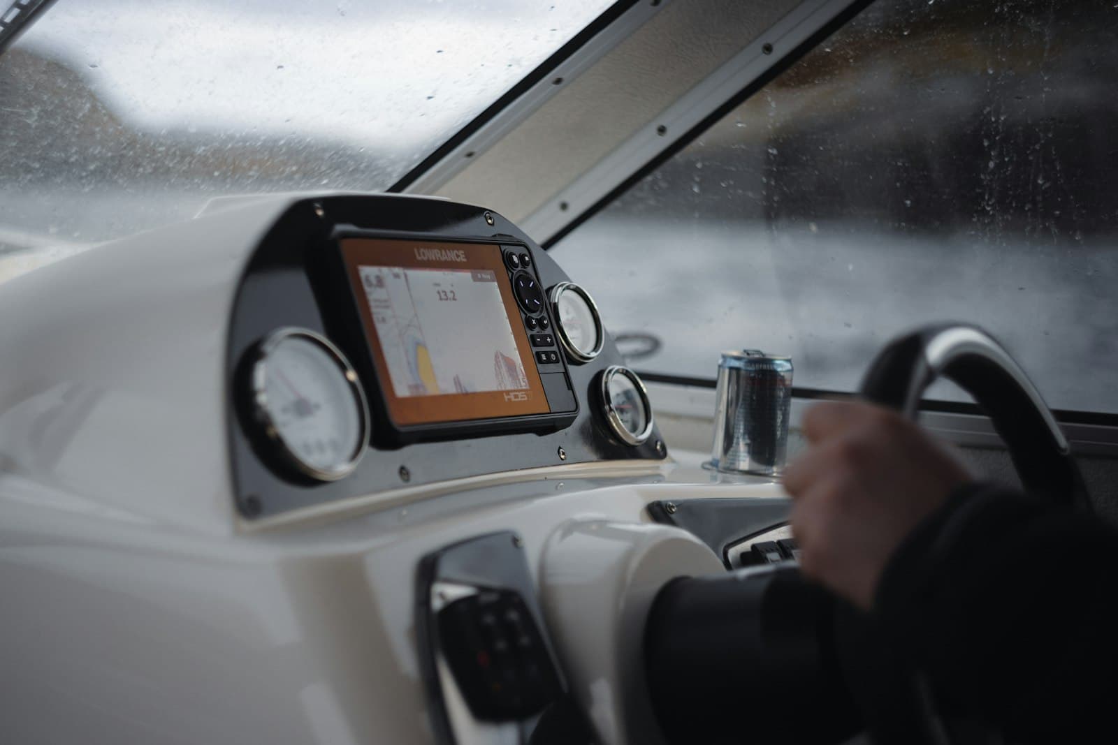
Setting up electronic navigation properly rests on three building blocks: up-to-date charts (official or from a private publisher), a reliable display (fixed chartplotter or protected tablet) and redundancy (a second device or paper chart). Budgets run from around a hundred euros a year for a serious app to several thousand for a complete, integrated helm station.
Official charts, private publishers, community data
National hydrographic offices — the UKHO in Britain, NOAA in the US, SHOM in France — produce the official charts, paper and electronic (ENCs). They are the reference: controlled surveys, corrections published through notices to mariners. Private publishers such as Navionics or C-MAP start from that official data and enrich it: bathymetry refined by boaters' soundings, harbour information, continuous updates. Excellent for cruising, provided you stay critical: a crowdsourced sounding is not a hydrographic survey, and lightly frequented areas can be approximate. Bear in mind too that generous zoom does not invent precision: the chart on screen is never better than the original survey. Finally, depending on your flag and your area, carriage regulations may require appropriate, up-to-date charts on board: check your safety equipment rules.
Tablet or fixed chartplotter: the real match-up
The tablet wins on price (300 to 800 euros) and on the quality of its apps; it is the ideal planning tool and an excellent backup. Its weaknesses at sea are well known: poor readability in full sun, overheating in summer, limited battery life, vulnerability to water — a waterproof case is essential — and sometimes mediocre internal GPS (an external Bluetooth GPS receiver transforms it). The fixed plotter (budget 800 to 2,500 euros for a 7-to-9-inch unit, installation extra) is sunlight-readable, powered by the boat, waterproof, and above all connected to the NMEA 2000 network: AIS, depth sounder, wind instruments and autopilot all talk to each other. The honest verdict: a plotter at the helm as soon as your programme goes beyond quiet coastal hops, with the tablet as a complement — not the other way round. Many cruisers end up running both, and it is precisely that combination which keeps a bad day at sea manageable.
The apps that matter, and what they cost
Navionics Boating (roughly 50 to 60 euros a year) is the de facto standard; TZ iBoat, iSailor and Orca are serious alternatives; OpenCPN remains the free option loved by long-distance cruisers. Watch out for a classic trap: most apps display AIS over the internet, with positions delayed by several minutes and incomplete coverage. Only an AIS receiver on board, fed by your VHF antenna, shows the real traffic around you. Built-in weather modules are handy for visualising, but they do not replace the routine of a proper marine forecast.
Planning a route properly
An electronic route is built like a paper one. Place your waypoints while highlighting dangers (shoals, cardinal marks, restricted areas), check each leg (course, distance), and compute a realistic ETA: a cruising sailboat averages 5 knots, not 7. Factor in tides and currents for the critical passages and sill marinas. Identify two or three bolt-hole ports along the way. Then load the route into both the main device and the backup, and brief the crew before leaving: a route only you know about is a fragile route.
Redundancy: plan B is not optional
A 12 V failure, a drowned screen, a tablet overheating at the worst moment: electronics always fail eventually, and they choose their moment badly. The vital minimum: a second charged device with charts downloaded offline, a 20,000 mAh power bank, a paper chart of the area even at small scale, and a hand-bearing compass to fix your position from two landmarks. Get into the habit of logging your position every hour offshore (a simple notebook will do): after a total failure, you restart from a known point instead of a blank page. Practise the degraded mode once a season: switch the plotter off deliberately and bring the boat home on the backup alone.
Where to start: equipping your boat in stages
- Stage 1, under 200 euros: a charting app with subscription, a waterproof mount, a power bank.
- Stage 2, 1,000 to 3,000 euros: a fixed 7-to-9-inch plotter at the helm, an AIS receiver, a reliable depth sounder.
- Stage 3: full NMEA 2000 integration (wind instruments, autopilot, radar if your programme justifies it) — covered in our marine electronics guide.
- Every year: update the charts; before each season, test the whole chain, GPS included.
- The acronyms (ENC, AIS, NMEA...) are explained in the glossary.
Frequently asked questions
Can a tablet replace a chartplotter?
For coastal trips in fair weather, yes — provided you protect it (waterproof case), power it and add an external GPS. As soon as the programme stretches, its limits — sunlight readability, overheating, no integration with AIS and depth sounder — argue for a fixed plotter at the helm, with the tablet demoted to planning and backup duties.
Are Navionics charts reliable?
Yes, for recreational use: they are built on official hydrographic data, enriched and continuously updated. Two caveats: crowdsourced bathymetry lacks the rigour of an official survey, and a chart left without updates ages fast. They also do not replace whatever documents your flag's carriage regulations require on board.
Do you still need paper charts on board?
In some cases it is a legal requirement, depending on your flag and cruising area: check your carriage regulations. Beyond the obligation, a paper chart even at small scale remains the ultimate plan B after a total electrical failure: with a hand-bearing compass and two landmarks, you always know where you are.
The surest way to know a boat is to sail her.
Before you buy — or simply to get away this season. Tell us your dates and your cruising area, and we source the right boat through our network of owners and vetted fleets.