Marine weather: reading a forecast like a sailor
Mean wind, gusts, swell and fronts: a simple method to decode a marine weather forecast and pick a genuine sailing weather window with confidence.
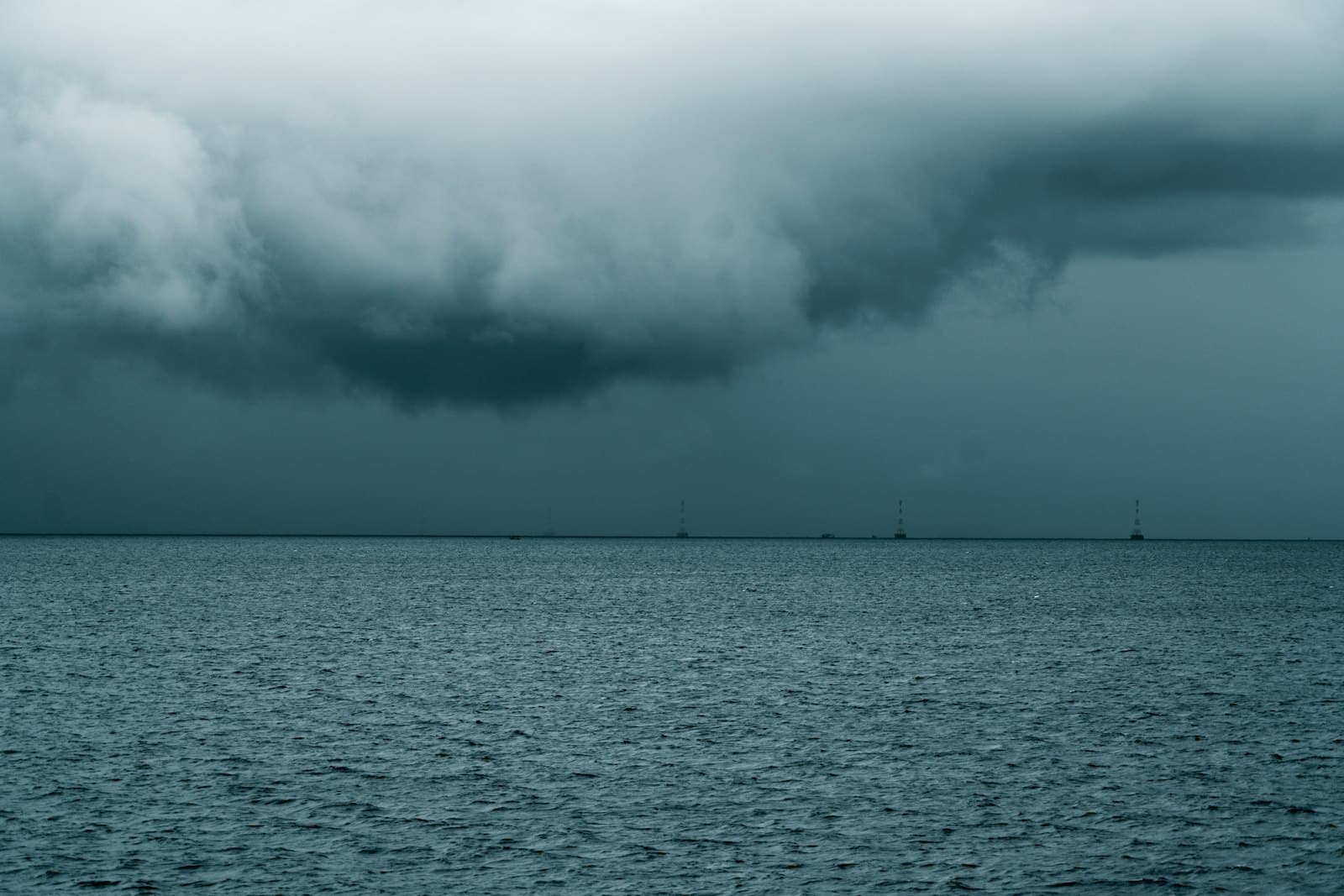
Reading a marine weather forecast means extracting four pieces of information: wind strength (mean and gusts), sea state (wind waves and swell), hazardous phenomena (fronts, thunderstorms, fog) and how they evolve over time. Everything else — numerical models, apps, animated maps — only exists to refine those four data points and answer the one question that matters: do I have a window to go out, and until when?
Wind: mean speed, gusts and the Beaufort scale
The wind in a forecast is a mean wind, averaged over ten minutes at ten metres above the water. Gusts routinely exceed that mean by 25 to 40% — more under squalls. A forecast of 15 knots therefore means peaks of 20-22 knots: that upper value is what should size your sail plan and your decision. The Beaufort scale remains the common language: force 4 (11-16 knots) is ideal cruising wind; force 5 gets sporty for a novice crew; force 6 is a "strong breeze" with a properly rough sea — a sensible ceiling for most leisure programmes. Remember too that wind pressure grows with the square of wind speed: going from 15 to 20 knots is not "a bit more", it is nearly double the load in your sails.
Sea state: wind waves, swell and period
Sea state combines two distinct things. Wind waves are raised by the local wind: short and steep, they die when the wind drops. Swell is an undulation born of distant wind, travelling for hundreds of miles. The published figure is the significant wave height — the average of the highest third of the waves: individual waves can approach double that. The most underrated number is the period. A 1.5 m swell at 9 seconds is crossed comfortably; the same height at 4 seconds gives a short, wet, exhausting sea. Finally, beware crossed seas (swell and wind waves from different directions) and wind against tide, which steepens waves dramatically — see our guide to tides and currents.
Fronts, thunderstorms and local effects
A cold front follows a known script: the wind shifts, freshens sharply as the front passes, with squalls and curtains of rain. Forecasts flag these passages: note the expected time and arrange to be in port, or ready. Summer thunderstorms, especially in the Mediterranean, are more treacherous: unpredictable 30-40 knot gusts under the cell, with the wind boxing the compass in minutes. Every basin also has its funnel winds — mistral, tramontane, meltemi — able to raise a dangerous sea within hours, plus thermal breezes that build in the afternoon. A forecast is always interpreted in the light of local waters: ask local sailors how their patch tends to behave.
Official forecasts, apps and models
Official marine forecasts (inshore and offshore areas), issued by your national weather service and usually relayed on VHF by the coastguard — the Shipping Forecast in the UK, NOAA broadcasts in the US — remain the reference: behind them sits a human forecaster's analysis. Apps such as Windy or PredictWind display raw output from numerical models: superb for visualising, but with no safety net. Good practice is to cross-check a global model (ECMWF or GFS) against a high-resolution one (AROME in France, UKV in Britain, HRRR in the US), which handles coastlines and relief far better. When models diverge, the forecast is uncertain: take the pessimistic version. And remember a forecast's shelf life: reliable at 24-48 hours, indicative at 72 hours, a mere trend beyond that.
Think in weather windows, not snapshots
The beginner's mistake is to check "the weather for 2 pm tomorrow". A sailor thinks in windows: a stretch of hours during which wind, sea and visibility stay within personal limits, with margin before the next shift. Set your thresholds in advance (say, 20 knots established, 1.5 m seas, 2 miles of visibility), identify when the window opens and closes, and plan a bolt-hole port you can reach if it closes earlier than promised. This is exactly the logic of our heavy weather guide: the best heavy-weather tactic is not being there in the first place.
Where to start: a pre-departure routine
- The evening before: read the official forecast for your area, then compare two models in an app. Note the timing of any wind shift.
- Set your thresholds (established wind, gusts, wave height and period) and test the forecast against them — not the other way round.
- On the morning itself: check again, since yesterday's forecast is already old. Look at the sky, and at what other boats are doing.
- At sea: watch the barometer, the clouds and the trend of the true wind; the coastguard broadcasts forecasts and gale warnings on VHF.
- Keep a small log: forecast versus observed. Within ten outings you will know how your area behaves.
For the vocabulary (significant height, established wind, veering...), keep the glossary to hand; and if you are preparing your very first trips, our first-time-out checklist builds this weather routine in step by step.
Frequently asked questions
What is the best marine weather app?
Windy and PredictWind are excellent for visualising models (wind, gusts, waves), but they show raw data with no human analysis. Best practice: use them to compare two models, then validate the decision against the official forecast for your area, which includes a professional forecaster's judgement.
What wind force is safe to go out in?
For a novice crew, force 4 (11-16 knots) is comfortable and force 5 becomes demanding; beyond that you need experience and a suitable boat. Always reason on forecast gusts and sea state, not on the mean wind, and keep a margin before the next deterioration.
How many days ahead is a marine forecast reliable?
Count on 24 to 48 hours of good reliability, 72 hours for a serious indication, and only a trend beyond that. Near coasts and high ground, only high-resolution models are accurate, and only at short range. Hence the rule: decide the evening before, confirm on the morning itself.
The surest way to know a boat is to sail her.
Before you buy — or simply to get away this season. Tell us your dates and your cruising area, and we source the right boat through our network of owners and vetted fleets.